Francis X. Villablanca; Christopher P. KofronCorresponding Author; Lauralea Oliver; Michael J. Walgren; Lisa E. Andreano;…
H.T. Harvey & Associates: San Joaquin River Quality Improvement Project
San Joaquin River Quality Improvement Project
2018 San Joaquin Kit Fox Surveys
Prepared by: H. T. Harvey & Associates
March 2019
To reduce the amount of salt and selenium delivered to the San Luis Drain and Mud Slough through the Grassland Bypass Project, the San Luis & Delta-Mendota Water Authority (SLDMWA) Grassland Basin Drainers implemented Phase I of the San Joaquin River Water Quality Improvement Project (SJRIP). The approximately 6,000-acre property is located west of the city of Firebaugh, in Fresno County, California. The irregularly-shaped site is bordered on the north by the Main Canal and on the south by the Delta-Mendota Canal. The eastern edge extends nearly to Fairfax Avenue (Figure 1). The Panoche Drainage District, acting as the lead agency under the California Environmental Quality Act, prepared a negative declaration for the SJRIP in September 2000. The negative declaration included a provision for the development, in collaboration with the U.S. Fish and Wildlife Service (USFWS), of a biological monitoring program that would detect potential project-related impacts on migratory birds resulting from exposure to elevated levels of selenium.
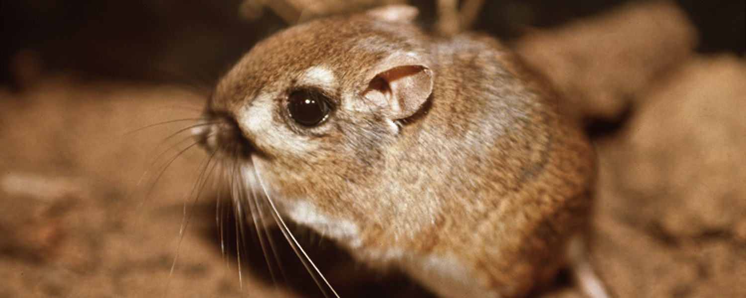
In addition, the Final Biological Opinion for the Grasslands Bypass Project, October 1, 2001–December 31, 2009 (biological opinion) (USFWS 2001) stipulates that a monitoring program and contingency plan be designed, in consultation with USFWS, to address potential San Joaquin kit fox (Vulpes macrotis mutica) exposure to selenium at the SJRIP site. Consequently, a Tiered Contaminant Monitoring Program to measure selenium levels in constituents of the San Joaquin kit fox food chain was implemented in 2008. The biological opinion was updated in 2009 to cover the period from 2010 through 2019.
Related Posts